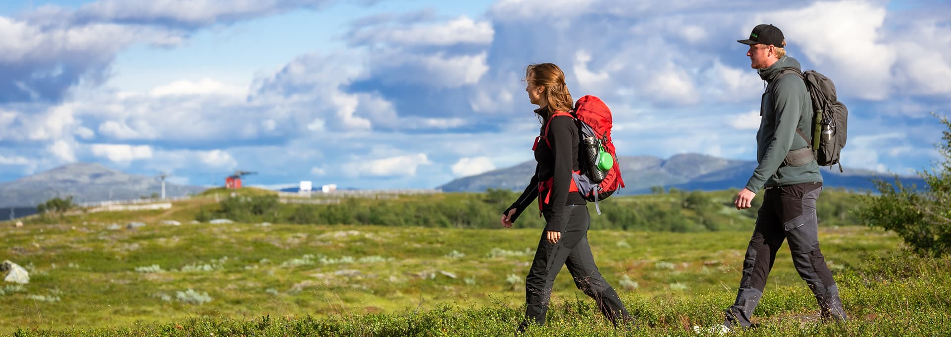
From the long days of Midsummer and into the colorful fall, our mountains offer incredible hikes and treks for all levels. Choose between short trips, day trips and longer journeys with overnight camping in the wild.
Nature
The area around Ramundberget offers many opportunities for hiking and trekking lovers. There are enough hiking trails to last you through summer, and 60 peaks over 1,000 meters. If you're looking for authentic mountain hiking among beautiful vistas and snow-capped mountains, you've come to the right place.
We are hosts to a rich animal life, and you'll often find reindeer grazing both on the mountain and in the village. Funäsfjällen is also the home of Sweden's last remaining muskox populations, and if you're lucky, you might catch a glimpse of these impressive beasts on your hike. Enjoy our stunning views, and help yourself to crystal-clear drinking water straight from any of our brooks, creeks or rivers.
Accessible Mountains
The mountains of Funäsfjällen - the area to which Ramundberget belongs - are known in Sweden as particularly accessible. In many places you'll even find our special Mountain Parking Lots ("Fjällparkering"), where you can park your car right on the mountain for a small fee. Perfect for those hiking with children, on a day trip, or just keen on a shorter, less stressful walk with more time to enjoy the spectacular vistas above the treeline.
A quick and easy way to get up onto the mountain is to take the Fjällgårdsbanan chairlift from Ramundberget Village. From the lift, you can easily find accessible hiking routes with breathtaking views. This is a great starting place for many of our trails that ensures you save time and get to enjoy the gorgeous vistas from the very beginning of your hike.
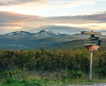
Gemtours
Around Funäsfjällen you'll find particular trails called Gemtours ("Guldturer") developed by Destination Funäsfjällen. These are accessible hikes that have been carefully selected to suit all tastes. Choose between shorter routes of a few hours and longer, full-day trips for the more adventurous. Many Gemtours start from Ramundberget - for more information, see our Hiking Trails page.
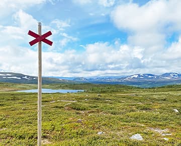
Navigate the Mountain
You can buy a detailed map of the Funäsfjällen mountains at Topsport or in Hotel Fjällgården's reception area, showing accessible hiking and cycling routes. You can also download the "Swedish Mountain Maps" App ("Fjällkartan" in Swedish), developed by the government agency Lantmäteriet. That way, you can start planning your hike from home. Of course, you can also use it once on the trail - just remember to download it before, as mobile cover can be patchy on the mountain. You might also want to bring a powerbank to charge your phone in case you run out of battery.
A map of the Funäsfjällen Gemtours can be purchased from our Reception. Pack your backpack with a map, clothes according to weather, and remember that temperatures can change quickly! And most importantly, make sure you have plenty of time to really enjoy the breathtaking views and experiences offered by our Swedish mountain world.